Insider Brief
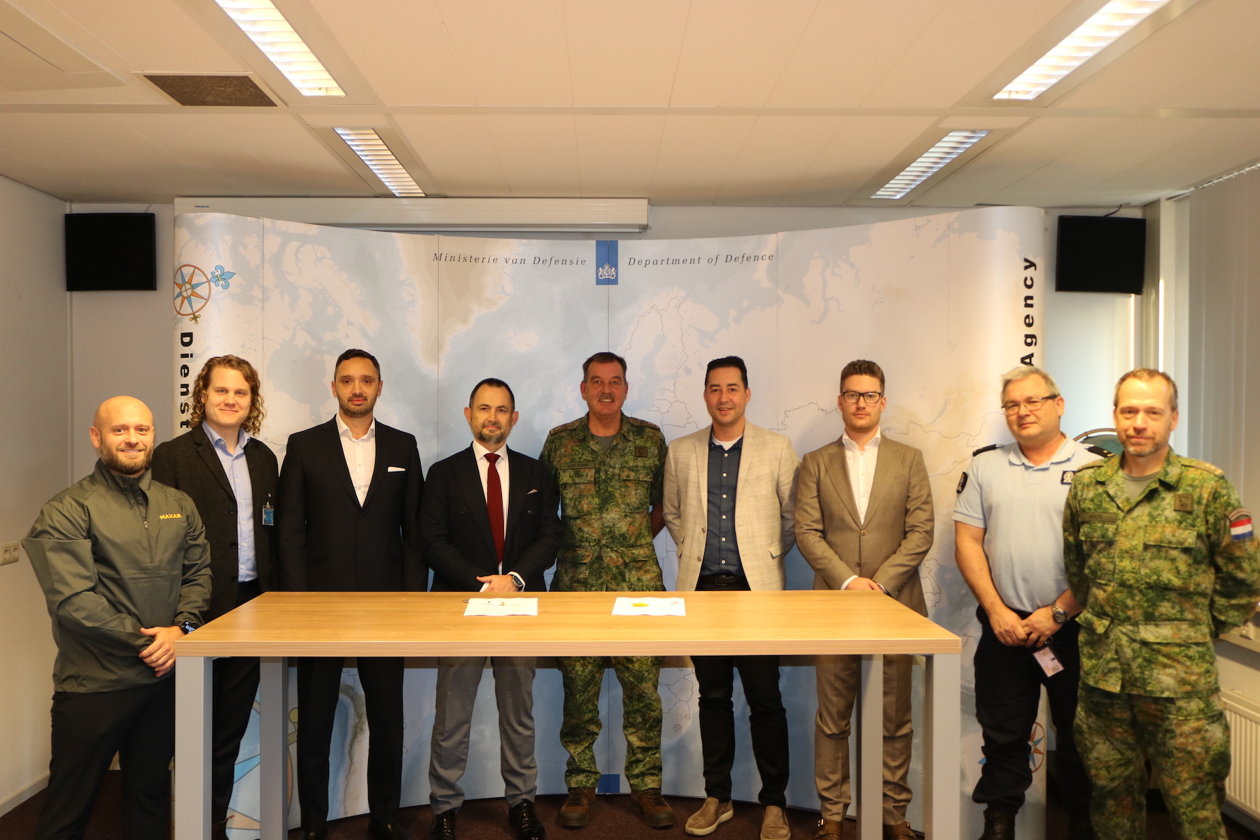
- The Netherlands Ministry of Defence has awarded Maxar Intelligence a €13.6 million framework contract for a four-year subscription to its Maxar Geospatial Platform Pro and related solutions.
- The agreement aims to enhance the MoD’s Defence Geographic Agency (DGA) geospatial data for mapping, intelligence, and operational missions.
- The DGA and its users will gain access to 3 million square kilometers of daily 30 cm-class resolution imagery and an archive covering over 6 billion square kilometers.
The Netherlands Ministry of Defence (MoD) has awarded Maxar Intelligence a €13.6 million ($14.4 million) framework contract for a four-year subscription to its Maxar Geospatial Platform (MGP) Pro and related solutions. The company announced this agreement aims to enhance the MoD’s Defence Geographic Agency (DGA) geospatial data for mapping, intelligence, and operational missions.
Through this partnership, Maxar will deliver on-demand access to high-resolution satellite imagery and advanced geospatial tools via MGP Pro. The platform includes Maxar’s extensive 20-year imagery archive, daily updates—featuring WorldView Legion data—and AI-driven analytics for change detection, object monitoring, and 3D modeling.
The DGA and its users will gain access to 3 million square kilometers of daily 30 cm-class resolution imagery and an archive covering over 6 billion square kilometers. These resources support the creation of foundational geospatial data and derivative products critical to defense operations across multiple domains.
Anders Linder, General Manager for International Government at Maxar, highlighted the platform’s capacity to meet the demands of modern defense operations in an era of heightened geopolitical challenges.
Image credit: Maxar
Share this article:


